Bug report #4138

After selecting a specific band in raster properties, the dropdown in the style tab reverts always to "band1"
| Status: | Closed | ||
|---|---|---|---|
| Priority: | High | ||
| Assignee: | - | ||
| Category: | Rasters | ||
| Affected QGIS version: | master | Regression?: | No |
| Operating System: | Easy fix?: | No | |
| Pull Request or Patch supplied: | Yes | Resolution: | fixed |
| Crashes QGIS or corrupts data: | No | Copied to github as #: | 14118 |
Description
QGIS 1.7.0 Wroclaw under Win.
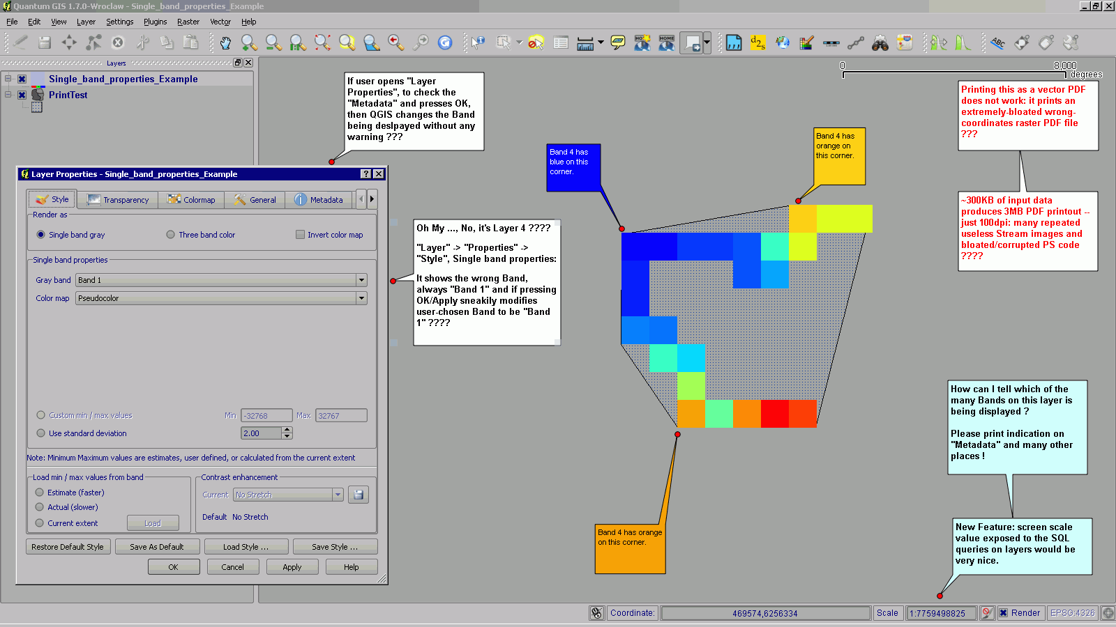
Very tricky: cannot tell which of the many bands on a given layer is being displayed: cannot find any icon/name/info anywhere except under "Layer -> Properties -> Style, Single band properties" which shows the wrong band, always "Band 1" and sneakily modifies user chosen Band to always be "Band 1" if pressing OK/Apply, even when using other tabs like "Metadata".
Associated revisions
display real band number for multiband rasters when single band gray
drawing style used (patch by Bill Clay, fix #4138)
display real band number for multiband rasters when single band gray
drawing style used (patch by Bill Clay, fix #4138)
History
#1
 Updated by Thaddeus - almost 15 years ago
- File QGIS_Main_Window.png added
#2
Updated by Thaddeus - almost 15 years ago
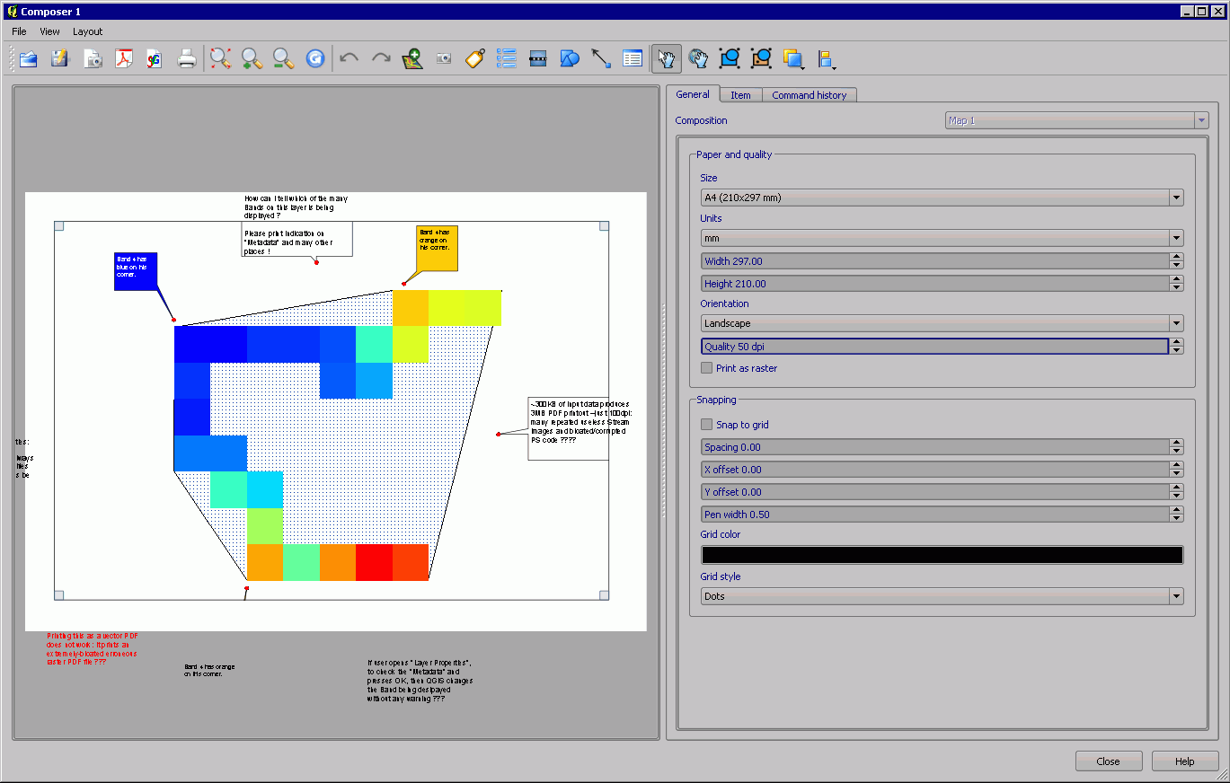
- File Composer.png added
#3
Updated by Thaddeus - almost 15 years ago
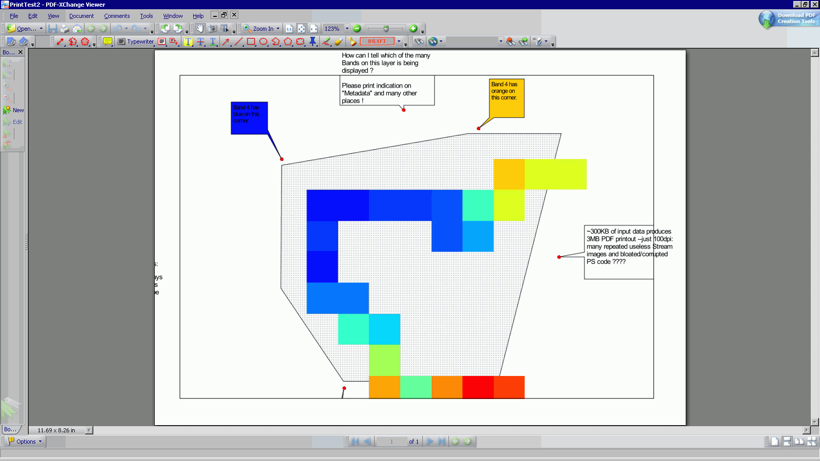
- File PDF_Printout.png added
#4
 Updated by Goyo D almost 15 years ago
- Category set to GUI
Confirmed in 1.8.0-trunk (Ubuntu Natty).
#5
 Updated by Bill Clay almost 15 years ago
Here is a fix. I apologize, but it was easier to fix the bug than for this git virgin to figure out how to make git create a patch file (even after reading the QGIS coding document). Guess it's time for me to graduate from SVN. Sorry!
diff --git a/src/app/qgsrasterlayerproperties.cpp b/src/app/qgsrasterlayerproperties.cpp
index 8e65d27..326644e 100644
--- a/src/app/qgsrasterlayerproperties.cpp
+++ b/src/app/qgsrasterlayerproperties.cpp
@@ -731,6 +731,7 @@ void QgsRasterLayerProperties::sync()
    cboRed->setCurrentIndex( cboRed->findText( mRasterLayer->redBandName() ) );
    cboGreen->setCurrentIndex( cboGreen->findText( mRasterLayer->greenBandName() ) );
    cboBlue->setCurrentIndex( cboBlue->findText( mRasterLayer->blueBandName() ) );
+   cboGray->setCurrentIndex( cboGray->findText( mRasterLayer->grayBandName() ) );

    //Display the current default contrast enhancement algorithm
    mDefaultContrastEnhancementAlgorithm = myQSettings.value( "/Raster/defaultContrastEnhancementAlgorithm", "NoEnhancement" ).toString();
#6
 Updated by Giovanni Manghi almost 15 years ago
- Pull Request or Patch supplied changed from No to Yes
- Assignee set to Tim Sutton
#7
Updated by Bill Clay almost 15 years ago
The above one-line patch does NOT report the selected band information in metadata as Thaddeus, the original reporter, requested. It does, however, show the (correctly-remembered) selected band in the raster layer properties dialog, style tab, gray band field for single-band gray layers.
#8
Updated by Giovanni Manghi almost 15 years ago
Hi Thaddeus, I can confirm the issue. Nevertheless I found not very handy to have many notes/feature_requests/described_issues embedded in the QGIS project you attached to this ticket. Please open proper tickets (one for each issue/feature request), describing everything in the "description" field, and attaching screenshot/sample data just to allow understand better the issue.
Tim: the issue is confirmed, while setting the raster to "single band" and selecting one the bands, in the raster properties it reverts always to "band1" (but QGIS is actually rendering a different band, the one selected before by the user). If the attached patch works I suggest to commit it ASAP. I confirmed the issue on qgis-trunk on Ubuntu.
Thaddeus, about the other issues you have described with annotations in the attached qgis project:
- I cannot replicate this "_~300KB of input data produces 3MB PDF printout --just 100dpi: many repeated useless Stream images and bloated/corrupted PS code?_": on my pc (qgis-trunk/Ubuntu Linux) your project results in a 250kb PDF at 100dpi (printed as vector) and 200kb if printed as raster.
- I cannot understand this "_Printing this as a vector PDF does not work: it prints an extremely-bloated wrong-coordinates raster PDF file?_" and also this "_New Feature: screen scale value exposed to the SQL queries on layers would be very nice._"
- The folloowing feature request make sense and I will open a proper ticket for it: "_How can I tell which of the many Bands on this layer is being displayed? Please print indication on "Metadata" and many other places!_"
#9
Updated by Giovanni Manghi almost 15 years ago
- Category changed from GUI to Rasters
#10
Updated by Giovanni Manghi almost 15 years ago
- Subject changed from Unable to keep raster band, always defaulting to Band 1. to After selecting a specific band in raster properties, the dropdown in the style tab reverts always to "band1"
#11
Updated by Giovanni Manghi almost 15 years ago
- The folloowing feature request make sense and I will open a proper ticket for it: "_How can I tell which of the many Bands on this layer is being displayed? Please print indication on "Metadata" and many other places!_"
see #4353
#12
Updated by Thaddeus - almost 15 years ago
Hi Giovanni, sorry about the confusion: all the notes and comments on the QGIS canvas screenshot were mainly taking notes for myself, I'm pretty sure I made bug reports for most/each of those issues, but, for some reason, they do not show on my Redmine profile --may have been reported before Redmine era.
Please see: Bug #3466, Feature #4144, Feature #4145, Bug #3028 (duplicate of #3448).
Bug #3466 Extremely Bloated PDF Vector Export under Win.
Feature #4144 New Feature: show Raster Band number on Layer Panel entries.
Feature #4145 New Feature: expose map scale to SQL queries (under "Layer Properties").
Bug #3028 Displacement between vector and WMS layers after printing
#13
 Updated by Alister Hood over 14 years ago
Is there any reason Bill's patch can't be applied?
It works fine.
#14
Updated by Giovanni Manghi over 14 years ago
Alister Hood wrote:
Is there any reason Bill's patch can't be applied?
It works fine.
I agree, and the bug is really annoying. :)
#15
Updated by Thaddeus - over 14 years ago
What's the target version ? I just tried 1.7.2 and still forgets the raster band selection.
#16
Updated by Giovanni Manghi over 14 years ago
- Target version set to Version 1.7.4
#17
Updated by Giovanni Manghi over 14 years ago
- Affected QGIS version set to master
- Assignee deleted (
Tim Sutton) - Priority changed from Normal to 6
- Crashes QGIS or corrupts data set to No
This is still confirmed on master and very annoying. Can someone review the patch and apply it?
#18
 Updated by Alexander Bruy over 14 years ago
- % Done changed from 0 to 100
- Status changed from Open to Closed
Fixed in changeset a6df30c99fd9520a96fa3e8bbed2d78a22e327e3.
#19
Updated by Alexander Bruy over 14 years ago
- Resolution set to fixed