Bug report #2243

Not accurate extent frame in map overview
| Status: | Closed | ||
|---|---|---|---|
| Priority: | Low | ||
| Assignee: | |||
| Category: | GUI | ||
| Affected QGIS version: | master | Regression?: | No |
| Operating System: | All | Easy fix?: | No |
| Pull Request or Patch supplied: | No | Resolution: | end of life |
| Crashes QGIS or corrupts data: | No | Copied to github as #: | 12303 |
Description
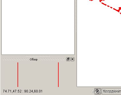
If map overview is turned on and docked, the red extent frame is usually not accurate, i.e. either top/bottom bounds are missing until you start resizing.
Minor issue of course, but still.
Example: http://gis-lab.info/images/screenshots/20091205-kn6-11kb.jpg
History
#1
 Updated by Giovanni Manghi almost 16 years ago
#2
 Updated by Steven Mizuno almost 16 years ago
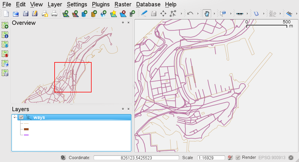
I believe the extent frame is operating correctly. The main intent of the frame is to show what area in the full map data is currently being displayed on the main map when zoomed in.
These are some factors that affect the display position of the rectangle:
1. Aspect ratio of the Overview vs. main map canvas.
2. the Overview shows the full extent exactly for all active layers (within its aspect ratio), but the zoom full extent actually puts a 5% additional buffer so the data are not right on the edge of the map. This will cause the rectangle to be outside the overview if both canvases have the same aspect ratio.
3. The small matter of + or - one pixel due to conversion of floating point values to integer.
A better test is to zoom in until the rectangle is the smallest size it can be, then positioning the rectangle over a feature on the map. That feature will be displayed on the main map.
#3
 Updated by Mayeul Kauffmann over 14 years ago
In the example http://trac.osgeo.org/qgis/attachment/ticket/2243/wrong_overview.png, the overview is almost correct if I pan near the North of the areao of interest (Monaca). The more I go in the south, the more it is wrong. Having the pane docked or floating does not change anything.
#4
Updated by Giovanni Manghi almost 14 years ago
- Target version changed from Version 1.7.0 to Version 1.7.4
#5
 Updated by Paolo Cavallini over 13 years ago
- Crashes QGIS or corrupts data set to No
- Affected QGIS version set to master
- Target version changed from Version 1.7.4 to Version 1.8.0
#6
Updated by Paolo Cavallini about 13 years ago
- Target version changed from Version 1.8.0 to Version 2.0.0
#7
 Updated by Jürgen Fischer over 11 years ago
- Target version changed from Version 2.0.0 to Future Release - Lower Priority
#8
Updated by Giovanni Manghi over 8 years ago
- Regression? set to No
- Pull Request or Patch supplied set to No
- Easy fix? set to No
#9
Updated by Giovanni Manghi over 6 years ago
- Resolution set to end of life
- Status changed from Open to Closed
End of life notice: QGIS 2.18 LTR
Source:
http://blog.qgis.org/2019/03/09/end-of-life-notice-qgis-2-18-ltr/