Bug report #9242

spatial query not giving all matches
| Status: | Closed | ||
|---|---|---|---|
| Priority: | Normal | ||
| Assignee: | - | ||
| Category: | Python plugins | ||
| Affected QGIS version: | 2.0.1 | Regression?: | No |
| Operating System: | Linux Ubuntu | Easy fix?: | No |
| Pull Request or Patch supplied: | No | Resolution: | invalid |
| Crashes QGIS or corrupts data: | No | Copied to github as #: | 17860 |
Description
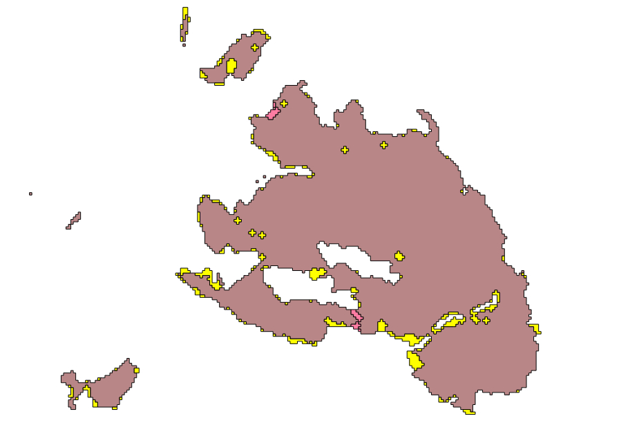
I am using the spatial query to select all features in a layer that "touches" another feature in another layer. As it can be seen in the picture attached, not all features are selected. Many features are not been selected, I am just showing one. With several files it is doing the same thing. One file is obtained from the other by a difference operation, so they are actually touching features. What can be wrong?
History
#1
 Updated by arturo emiliano melchiori about 12 years ago
- File referencia.prj added
- File omiss.shp added
- File omiss.prj added
- File omiss.dbf added
- File referencia.shx added
- File referencia.shp added
- File referencia.dbf added
- File omiss.shx added
Here's a sample of the layers I am operating. If I try the spatial query selecting all features in "Omiss" that touch the "referencia" there are some of them that are excluded from the result.
#2
 Updated by Jukka Rahkonen about 12 years ago
I had a try with OpenJUMP and result was the same. There seems to be a topolygy error in a feature on the "omiss" layer. There is a ring self-intersection at point (257889.83459895354 8888074.88550037). I suggest to repeat the test after checking and correcting the topological errors. Here is the WKT of the invalid multipolygon in the omiss.shp
MULTIPOLYGON (((
257859.83396876074 8888104.886263603,
257889.83459895354 8888104.886263603,
257889.83459895354 8888074.88550037,
257919.83522914632 8888074.88550037,
257919.83522914632 8888044.884737134,
257949.8358593391 8888044.884737134,
257949.8358593391 8888014.883973898,
258009.83711972472 8888014.883973898,
258009.83711972472 8887984.883210665,
257979.8364895319 8887984.883210665,
257919.83522914632 8887984.883210665,
257919.83522914632 8888014.883973898,
257859.83396876074 8888014.883973898,
257859.83396876074 8888044.884737134,
257889.83459895354 8888044.884737134,
257889.83459895354 8888074.88550037,
257859.83396876074 8888074.88550037,
257859.83396876074 8888104.886263603
)), ((
258009.83711972472 8887984.883210665,
258039.8377499175 8887984.883210665,
258069.83838011028 8887984.883210665,
258069.83838011028 8888044.884737134,
258099.83901030308 8888044.884737134,
258099.83901030308 8887954.882447429,
258069.83838011028 8887954.882447429,
258009.83711972472 8887954.882447429,
258009.83711972472 8887984.883210665
)))
#3
 Updated by Giovanni Manghi about 12 years ago
- Resolution set to invalid
- Status changed from Open to Closed
- File clean.tar.gz added
There is also an error in the "referencia" layer that seems to be the source of the problem, as once fixed (see attached layer) the operation works ok.
#4
Updated by arturo emiliano melchiori about 12 years ago
The problem comes from the gdal.polygonize function with the 8CONNECTED=8 option set. Both layers are build from rasters with that function. Sorry from blaming QGIS.