Bug report #7484

Georeferencer: Wrong negative coordinates
| Status: | Closed | ||
|---|---|---|---|
| Priority: | Normal | ||
| Assignee: | |||
| Category: | Rasters | ||
| Affected QGIS version: | 1.8.0 | Regression?: | No |
| Operating System: | Easy fix?: | No | |
| Pull Request or Patch supplied: | No | Resolution: | |
| Crashes QGIS or corrupts data: | No | Copied to github as #: | 16436 |
Description
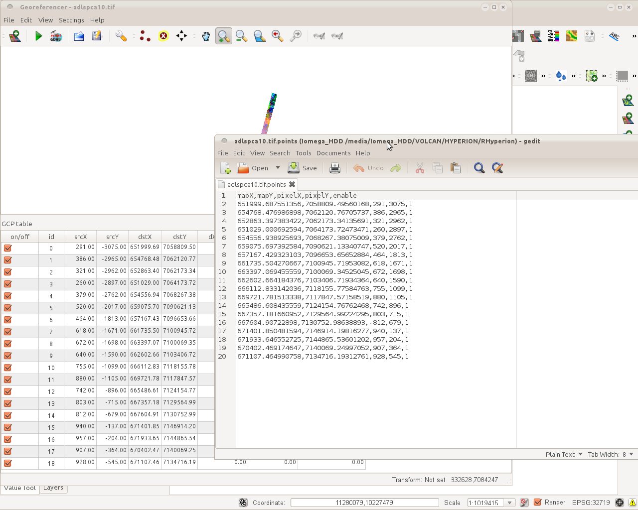
srcY cooordinates are taken as negative once the points file
is read in the plugin, while coordinates are correct
in the points file. probably a wrong interpretation of
the position in the Southern hemisphere
epsg 32719 (wgs84 utm19S)
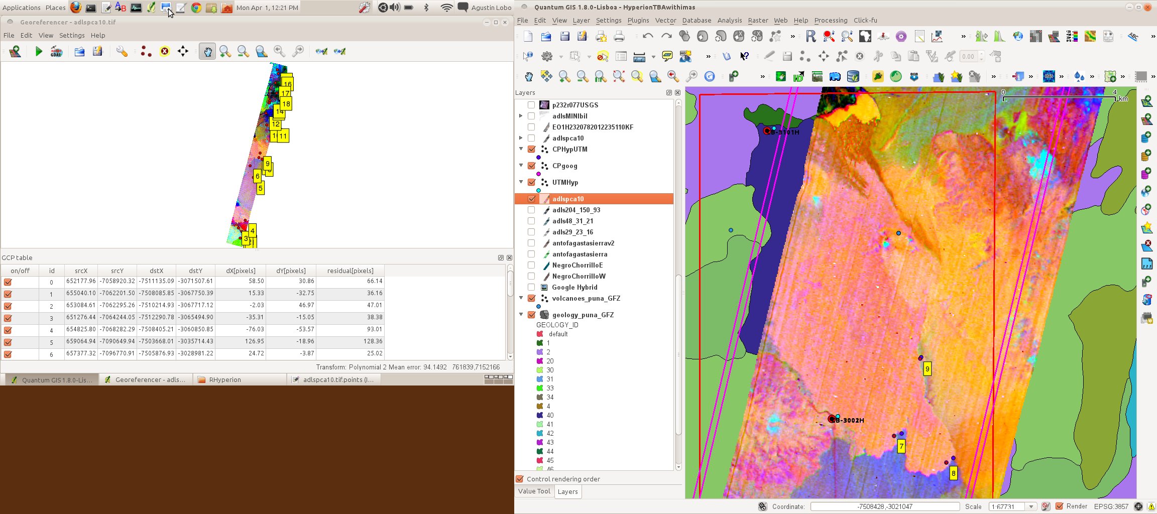
See georef.jpeg
(also, please keep the same column order and names in
both the plugin and the points file).
Agus
History
#1
 Updated by alobo - about 13 years ago
- File georefpix.jpeg added
- File adlspca10.tif.points added
The example was not appropriate because the gdal gcp assume image coordinates are
in pixels (col, row) and not in projected coordinates (qgis geoproc tool should
actually extract pixel coordinates in this case but this is a matter of another ticket)
The same problem of negative coordinates is shown in georefpix.jpeg. I also attach the points file.
I've successfully warped the image with those gcp and the following 2 gdal commands (similar to but not identical to the script generated by the plugin):
gdal_translate -of Float32 GTiff -a_srs EPSG:32719 -gcp 291 3075 652000 7.05881e+06 -gcp 386 2965 654768 7.06212e+06 ... "/media/Iomega_HDD/VOLCAN/HYPERION/RHyperion/adlspca10.tif" "/tmp/adlspca10.tif"
(note: deleted gcp in ...)
gdalwarp -ot Float32 -wt Float32 -r bilinear -order 2 -co COMPRESS=NONE -tr 30.000000 -30.000000 "/tmp/adlspca10.tif" "/media/Iomega_HDD/VOLCAN/HYPERION/RHyperion/adlspca10_corrbilin.tif"
Agus
#2
 Updated by Radim Blazek about 13 years ago
- Assignee set to Radim Blazek
- Status changed from Open to Feedback
Can you describe exactly the steps to reproduce it? I tried to
- create new project
- set project projection to 32719
- open georeferencer plugin
- load adlspca10.tif.point
but the points are loaded with positive srcY.
Could it be that it only happens when QGIS is run on a computer physically located on southern hemisphere? Have you tried to turn your computer upside down?
#3
Updated by alobo - about 13 years ago
Works on 1.9 master on Mac
Does not work on 1.8 (Linux, Mac)
Agus
#4
Updated by Radim Blazek about 13 years ago
- Priority changed from Severe/Regression to Normal
- Affected QGIS version changed from master to 1.8.0
#5
 Updated by Giovanni Manghi about 13 years ago
alobo - wrote:
Works on 1.9 master on Mac
Does not work on 1.8 (Linux, Mac)Agus
if it works on master this can be closed, I guess.
#6
 Updated by Paolo Cavallini about 13 years ago
- Status changed from Feedback to Closed