Bug report #21079

Problems to show elevation data from TIFF file
| Status: | Closed | ||
|---|---|---|---|
| Priority: | Normal | ||
| Assignee: | - | ||
| Category: | Rasters | ||
| Affected QGIS version: | 3.4.3 | Regression?: | No |
| Operating System: | Easy fix?: | No | |
| Pull Request or Patch supplied: | No | Resolution: | no timely feedback |
| Crashes QGIS or corrupts data: | No | Copied to github as #: | 28897 |
Description
Hello
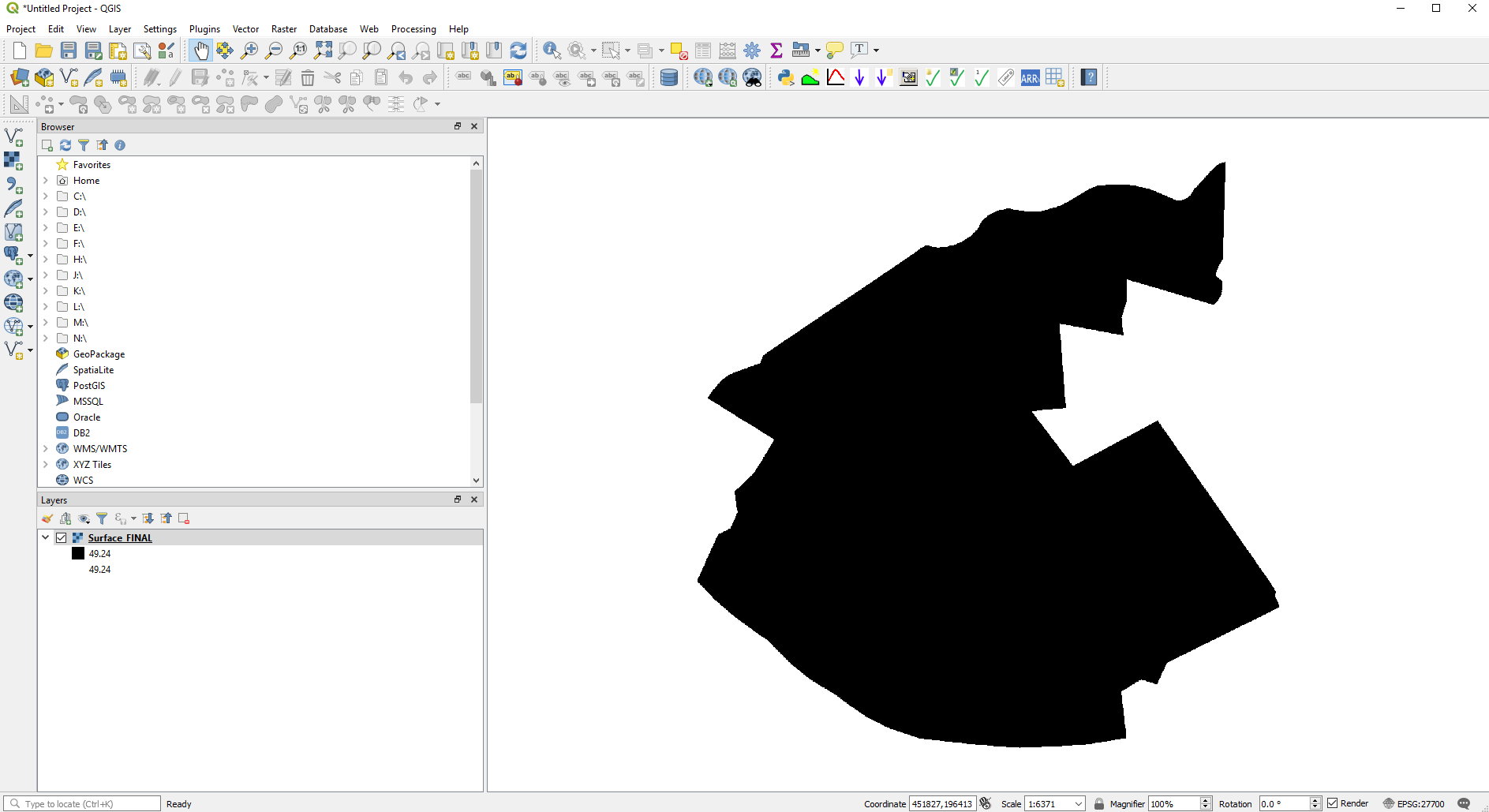
I work many times with QGIS and CIVIL3D, and when I create a surface from Civil 3D and export it as a TIF file in order to open it in QGIS 3.4, the elevation data from this tif file appears "flat" (i.e. the same elevation throughout the area). However, strangely enough, when I extract contours, these are correct. I do not know how to fix this problem. I attached a snapshot.
Thanks everyone :)
History
#1
 Updated by Alessandro Pasotti over 7 years ago
- Priority changed from High to Normal
- Status changed from Open to Feedback
Can you attach a sample of the raster?
#2
 Updated by Giovanni Manghi over 7 years ago
- Resolution set to no timely feedback
- Status changed from Feedback to Closed