Bug report #19705

raster values and slope values
| Status: | Closed | ||
|---|---|---|---|
| Priority: | Normal | ||
| Assignee: | - | ||
| Category: | Rasters | ||
| Affected QGIS version: | 3.2.2 | Regression?: | No |
| Operating System: | windows10 x64 | Easy fix?: | No |
| Pull Request or Patch supplied: | No | Resolution: | invalid |
| Crashes QGIS or corrupts data: | No | Copied to github as #: | 27530 |
Description
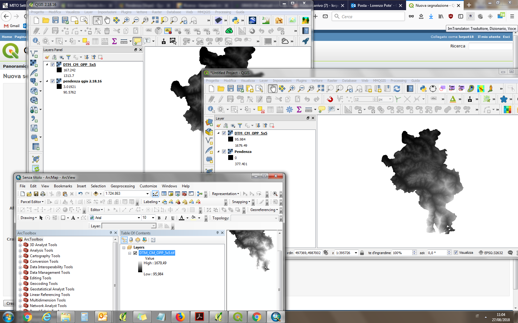
I opened the same raster in qgis 2.18.16, qgis 3.2.2 and arcmap 10.0. In qgis 2.18.16 i have different min/max values (all parameters are the same). When i calculate "slope" i have different values too. Values same to be correct in qgis 2.18.16 and wrong in qgis 3.2.2.
(see screenshot)
Thank you
History
#1
 Updated by Nyall Dawson almost 8 years ago
- Resolution set to invalid
- Status changed from Open to Closed
QGIS 2.18 defaults to a "2/98%" value for raster min and max values. This has changed in 3.0 to default to the actual min and max values. You can change this setting in 2.18 in the Options dialog