Bug report #15339

Warp tool requires CRS of extent when no extent set
| Status: | Closed | ||
|---|---|---|---|
| Priority: | High | ||
| Assignee: | |||
| Category: | Processing/GDAL | ||
| Affected QGIS version: | 2.18.7 | Regression?: | Yes |
| Operating System: | Easy fix?: | No | |
| Pull Request or Patch supplied: | No | Resolution: | fixed/implemented |
| Crashes QGIS or corrupts data: | No | Copied to github as #: | 23271 |
Description
Since updating to QGIS 2.16 in Ubuntu, there is a new field: CRS of raster extent. This field is mandatory even when no extent is specified. Specifying a CRS in this field, for example the same CRS as the Destination CRS, creates a -te value in the GDAL command.
When the raster extent field is blank, the Extent CRS should not be required, and no -te flag should be included in the gdalwarp command.
Related issues
Associated revisions
[processing] don't apply -te and -te_srs if not requested (fix #15339)
History
#1
 Updated by Giovanni Manghi over 9 years ago
- Assignee changed from Victor Olaya to Giovanni Manghi
#2
 Updated by Alexander Bruy over 9 years ago
- Status changed from Open to Closed
- Resolution set to fixed/implemented
Should be fixed in master
#3
 Updated by Evan Derickson almost 9 years ago
- File CRS_extent.png added
- Status changed from Closed to Reopened
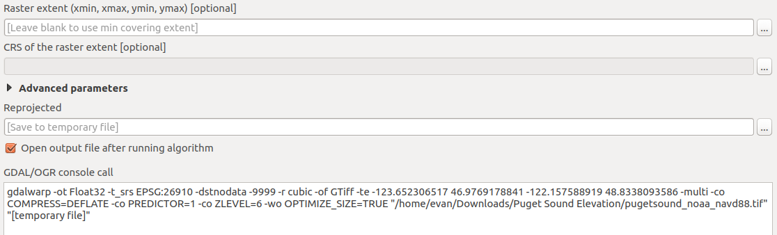
As of 2.18.5, the GDAL warp tool will always add a -te parameter to the gdalwarp command, no matter if the user inputs something to the extent field. If the user does not select a CRS for the extent, the tool will fail with the message:
ERROR 1: Attempt to create 0x0 dataset is illegal,sizes must be larger than zero.
Creating output file that is 0P x 0L.
The user must still designate an extent CRS to proceed. I would therefore still consider this bug still open, though its nature has changed.
#4
Updated by Giovanni Manghi almost 9 years ago
- Resolution deleted (
fixed/implemented)
The user must still designate an extent CRS to proceed. I would therefore still consider this bug still open, though its nature has changed.
agree, I must address this -te parameter.
#5
Updated by Giovanni Manghi over 8 years ago
- Regression? set to No
- Easy fix? set to No
#6
Updated by Alexander Bruy over 8 years ago
- Duplicated by Bug report #16293: gdalwarp issues with the "te" parameter added
#7
Updated by Alexander Bruy over 8 years ago
- Description updated (diff)
- Priority changed from Normal to High
#8
Updated by Giovanni Manghi over 8 years ago
- Regression? changed from No to Yes
#9
Updated by Alexander Bruy over 8 years ago
- Duplicated by Bug report #16519: Processing: error when to trying to reproject layer added
#10
Updated by Giovanni Manghi over 8 years ago
- Affected QGIS version changed from 2.16.0 to 2.18.7
- Status changed from Reopened to Open
#11
Updated by Alexander Bruy over 8 years ago
- Status changed from Open to Closed
- Resolution set to fixed/implemented
Fixed in abc74b42624cc3815e4338111a5d1214d5420bda