Bug report #15267

colliding labels
| Status: | Closed | ||
|---|---|---|---|
| Priority: | Normal | ||
| Assignee: | - | ||
| Category: | Labelling | ||
| Affected QGIS version: | 2.14.3 | Regression?: | No |
| Operating System: | Easy fix?: | No | |
| Pull Request or Patch supplied: | No | Resolution: | end of life |
| Crashes QGIS or corrupts data: | No | Copied to github as #: | 23203 |
Description
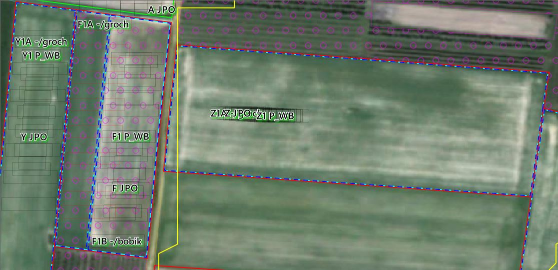
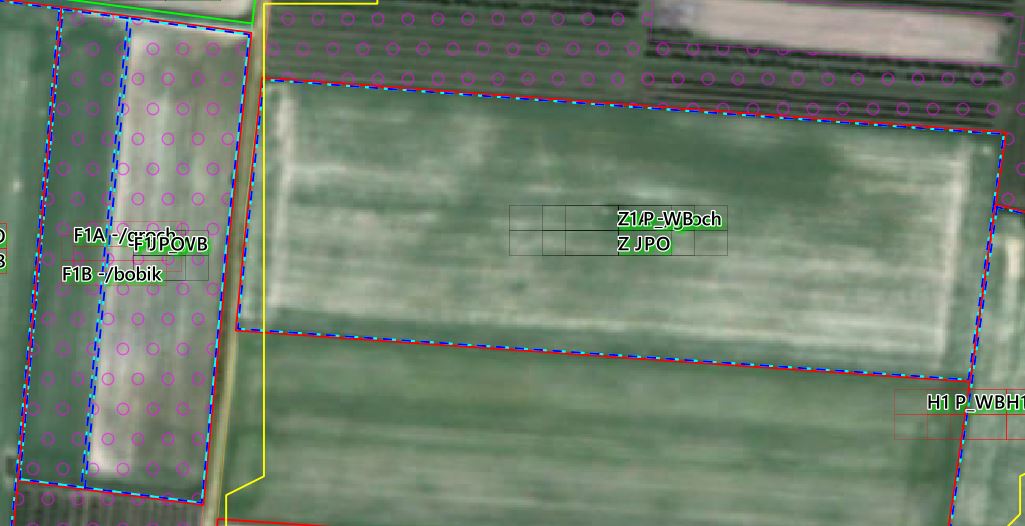
Labels are overlapped on horizontal features (lebeling set to horizontal, but same effect is with "centroid" settings). On vertical features working as expected.
This is rather old bug, but very annoying. One more thing - I have "show all labels (including colliding labels)" checked, these labels must be always visible. If I disable this option - some of labels are not shown, although it's plenty of space inside feature.
History
#1
 Updated by Nyall Dawson over 9 years ago
- Status changed from Open to Feedback
Can you turn on the "show label candidates" option in the global label preferences (little arrow symbol in the top right of the label dialog) and take a screenshot?
#2
 Updated by Jakub Kosik over 9 years ago
- File free.JPG added
- File horizontal.JPG added
- File around_centroid.JPG added
here are some exaples with different settings.
#3
 Updated by Giovanni Manghi almost 9 years ago
- Status changed from Feedback to Open
- Priority changed from High to Normal
#4
Updated by Giovanni Manghi over 8 years ago
- Regression? set to No
- Easy fix? set to No
#5
Updated by Giovanni Manghi almost 7 years ago
- Resolution set to end of life
- Status changed from Open to Closed
End of life notice: QGIS 2.18 LTR
Source:
http://blog.qgis.org/2019/03/09/end-of-life-notice-qgis-2-18-ltr/
QGIS 3.4 has recently become our new Long Term Release (LTR) version. This is a major step in our history – a long term release version based on the massive updates, library upgrades and improvements that we carried out in the course of the 2.x to 3x upgrade cycle.
We strongly encourage all users who are currently using QGIS 2.18 LTR as their preferred QGIS release to migrate to QGIS 3.4. This new LTR version will receive regular bugfixes for at least one year. It also includes hundreds of new functions, usability improvements, bugfixes, and other goodies. See the relevant changelogs for a good sampling of all the new features that have gone into version 3.4
Most plugins have been either migrated or incorporated into the core QGIS code base.
We strongly discourage the continued use of QGIS 2.18 LTR as it is now officially unsupported, which means we’ll not provide any bug fix releases for it.
You should also note that we intend to close all bug tickets referring to the now obsolete LTR version. Original reporters will receive a notification of the ticket closure and are encouraged to check whether the issue persists in the new LTR, in which case they should reopen the ticket.
If you would like to better understand the QGIS release roadmap, check out our roadmap page! It outlines the schedule for upcoming releases and will help you plan your deployment of QGIS into an operational environment.
The development of QGIS 3.4 LTR has been made possible by the work of hundreds of volunteers, by the investments of companies, professionals, and administrations, and by continuous donations and financial support from many of you. We sincerely thank you all and encourage you to collaborate and support the project even more, for the long term improvement and sustainability of the QGIS project.