Feature request #1437

improve dxf plugin
| Status: | Closed | ||
|---|---|---|---|
| Priority: | Low | ||
| Assignee: | |||
| Category: | C++ Plugins | ||
| Pull Request or Patch supplied: | Resolution: | wontfix | |
| Easy fix?: | No | Copied to github as #: | 11497 |
Description
There is no connection between the technical platforms, producing dxf files and the gis-world. To combine this aereas, it is necessary to read dxf-files as native function in qis. (The way about grass plugins does not realy works.)
History
#1
 Updated by Jürgen Fischer over 17 years ago
There is a core plugin that converts dxf to shape.
#2
 Updated by Gerhard Spieles over 17 years ago
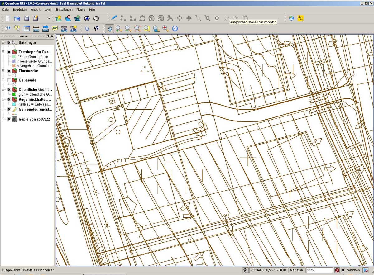
Converting dxf2shp loose important informations. Examples are attached.
#3
 Updated by Paolo Cavallini over 17 years ago
In general, it is difficult to use dxf files in a GIS without conversion, because of the deeply different data model
#4
Updated by Jürgen Fischer about 17 years ago
see also GDAL TRAC
#5
Updated by Paolo Cavallini about 17 years ago
Please note that in spite of the name, the suggested solution (opendwg) is non free, so probably cause of other hassles. Probably better to go on and improve the already working plugin, or port it/rewrite it to OGR
#6
Updated by Paolo Cavallini about 16 years ago
- Resolution set to wontfix
- Status changed from Open to Closed
DXF support has been recently added to GDAL/OGR. Please fill tickets there if not working properly