Bug report #12264

Heatmap generated TIF with bad CRS
| Status: | Closed | ||
|---|---|---|---|
| Priority: | Severe/Regression | ||
| Assignee: | - | ||
| Category: | Analysis library | ||
| Affected QGIS version: | 2.8.1 | Regression?: | No |
| Operating System: | Easy fix?: | No | |
| Pull Request or Patch supplied: | No | Resolution: | fixed/implemented |
| Crashes QGIS or corrupts data: | No | Copied to github as #: | 20449 |
Description
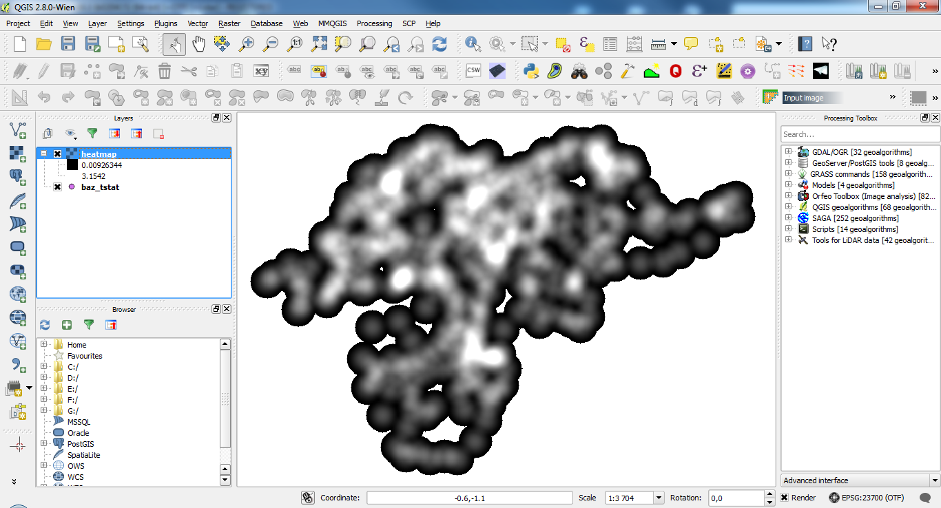
Heatmap generated with plugin placed in the center of used coordinate reference system, instead of actual location. It looks like QGIS can not interpret real coordinates written in TIF file header, instead it uses the coordinates of pixels in image. The used CRS was a cartesian system (epsg: 23700), not geographical.
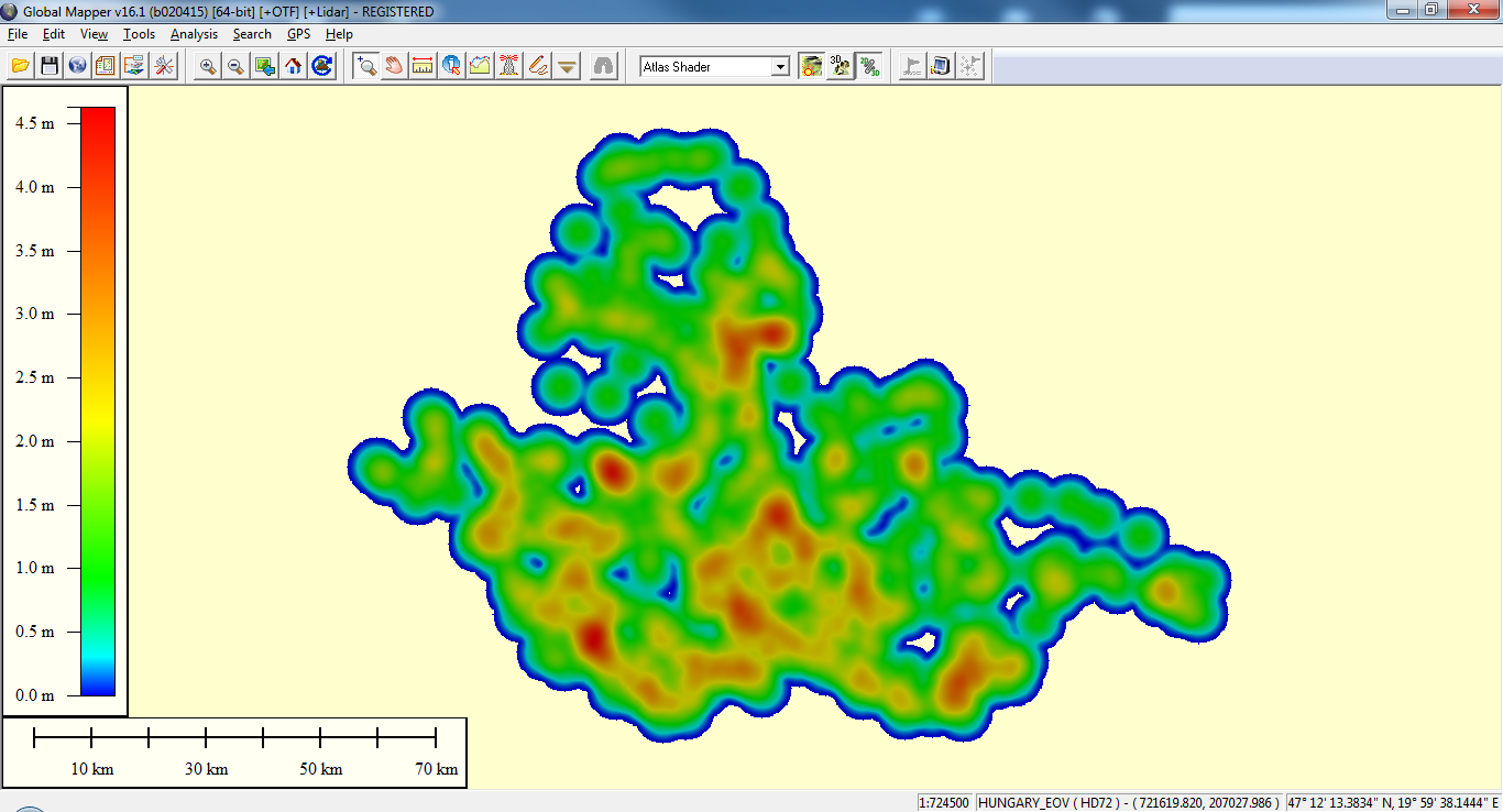
If image was opened in other GIS software e.g. Global Mapper, it can open it and interprets its projection but it interchanges the axes.
Associated revisions
Fix handling of warped VRT (refs #12264)
Loading of rasters requiring warped VRTs was broken, but the heatmap
plugin is still creating incorrect outputs which needs to be fixed.
Fix handling of warped VRT (refs #12264)
Loading of rasters requiring warped VRTs was broken, but the heatmap
plugin is still creating incorrect outputs which needs to be fixed.
History
#1
 Updated by Giovanni Manghi over 11 years ago
- Status changed from Open to Feedback
Hi,
can you share a sample of your input data? Thanks.
#2
 Updated by Janos Meszaros over 11 years ago
- File heatmap_sample.ZIP added
I attached a zip file containing a Shapefile with drilling points for geological measurements, nothing special except coordinate reference system: please use the HD72/EOV system or 23700 EPSG code to identify proper projection in QGIS.
#3
Updated by Giovanni Manghi over 11 years ago
- OS version deleted (
win7 x64) - Affected QGIS version changed from 2.8.0 to 2.8.1
- Operating System deleted (
Windows) - Target version changed from Version 2.8 to Version 2.8.2
- Priority changed from Normal to Severe/Regression
- Status changed from Feedback to Open
I confirm that there is something wrong in this tool and that ti was working ok in previous qgis releases.
#4
 Updated by Pekka Sarkola over 11 years ago
It seems that this more common issue than just Heatmap generated files.
I generate my raster outside QGIS (with gdal_grid): origin and image size is correct. But extent is calculated uncorretly.
Only tested with EPSG:3067, but I presume this is wider problem.
P
#5
 Updated by Luiz Andrade about 11 years ago
- File points.zip added
I´ve made some tests using this data. I found the same problem.
#6
Updated by Giovanni Manghi about 11 years ago
- Resolution set to fixed/implemented
- Status changed from Open to Closed
seems fixed in qgis master, please reopen if necessary.
#7
Updated by Giovanni Manghi over 9 years ago
- Category changed from 114 to Analysis library