Feature request #12198

Best fit to graticules
| Status: | Open | ||
|---|---|---|---|
| Priority: | Normal | ||
| Assignee: | - | ||
| Category: | Map Composer/Printing | ||
| Pull Request or Patch supplied: | No | Resolution: | |
| Easy fix?: | No | Copied to github as #: | 20387 |
Description
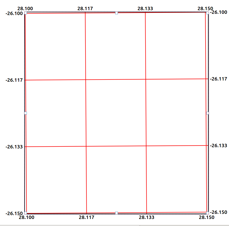
Often when creating maps with grids, one wants the extent of the
map to align with graticules (or as close as possible). In other
words to shrink or expand so that all the latitude and longitude
lines are contained in the map (As shown in image 'A'). At the moment this is achieved by
tweaking the borders of the map, but when this is done the scale changes. So the user has to resize the
maps, then return the scale to what it was,pan the map to fit the corners.
This usually needs to be done several times. An option to expand or shrink
the map to the closest graticules while maintaining scale would be very useful.
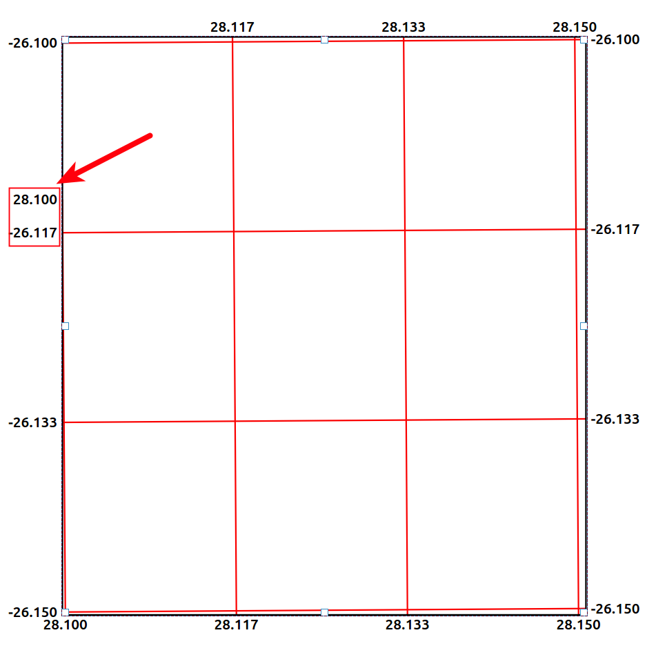
One of the reasons to create a "Best Fit" option would remove the undesirable effect
shown in image 'B'.
History
#1
 Updated by Roscoe Lawrence almost 11 years ago
My apologies, this was supposed to be a feature request and not a bug report.
#2
 Updated by Nyall Dawson almost 11 years ago
- Tracker changed from Bug report to Feature request
FYI - 2.8 allows you to control which annotations (lat/long) are shown on each of the map's sides, so that helps avoid the problem down in b.
#3
 Updated by Giovanni Manghi almost 9 years ago
- Easy fix? set to No