Feature request #10377

would like ability to disable vertical axis labels appearing on sides when map is rotated
| Status: | Closed | ||
|---|---|---|---|
| Priority: | Normal | ||
| Assignee: | - | ||
| Category: | Map Composer/Printing | ||
| Pull Request or Patch supplied: | No | Resolution: | fixed/implemented |
| Easy fix?: | No | Copied to github as #: | 18796 |
Description
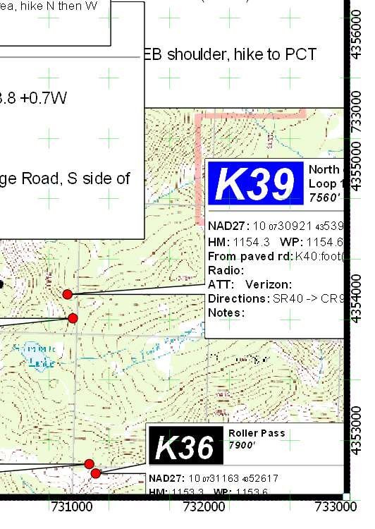
When the map is rotated just a bit, so as to account for grid north versus true north (1.60 degrees in this case), and the edge of the map is very near to a grid interval, the 'other' axis's label can show up on the 'correct' axis's side. In the attached image, UTM easting 733000 shows up on the right side where normally only northing labels should appear (43500 etc). (The grid interval is 1000 x 1000, grid type = cross and cross with = 0, to disable the cross display, since they display on top of html annotations, see issue 10300).
I can see how this would be a desired effect for significantly rotated maps, or polar projections etc. But, for this slight rotation, it would be nice to have a way to disable the behavior - maybe a threshold rotation value, i.e. only display off-axis labels when rotation (or curvature at map edge) is more than x degrees? As it is, I think the only solution is to move the map contents a bit such that the map edge is not near enough to a grid interval to trigger this off-axis display.
History
#1
 Updated by Nyall Dawson almost 11 years ago
- Resolution set to fixed/implemented
- Status changed from Open to Closed
Fixed in 2.8