Bug report #1034

Georeferencer forces a greyscale pallette on indexed images
| Status: | Closed | ||
|---|---|---|---|
| Priority: | Low | ||
| Assignee: | |||
| Category: | Rasters | ||
| Affected QGIS version: | Regression?: | No | |
| Operating System: | All | Easy fix?: | No |
| Pull Request or Patch supplied: | Resolution: | fixed | |
| Crashes QGIS or corrupts data: | Copied to github as #: | 11094 |
Description
Process your colour indexed image with Georeferencer and you'll receive a greyscale image.
History
#1
 Updated by ersts - over 17 years ago
- Status changed from Open to In Progress
msieczka,
I cannot seem to reproduce this Ubuntu with the 0.11.0 branch.
Would you be able to provide an example dataset that you are having trouble with?
Also can you clarify where Georeferencer is forcing the greyscale, is it in the georeferencer window or one you are back in the main QGIS canvas?
-pete
#2
 Updated by Maciej Sieczka - over 17 years ago
Replying to [comment:1 ersts]:
msieczka,
I cannot seem to reproduce this Ubuntu with the 0.11.0 branch.
Would you be able to provide an example dataset that you are having trouble with?
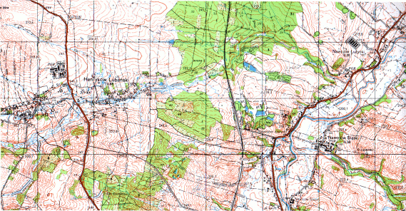
Sample indexed pallette png attached. Steps ro reproduce:
1. Start georeferencer plugin.
2. Load the attached topo.png.
3. Select Helmert transformation.
4. Set the minimum 2 points as required.
5. Apply transformation.
In a result a new raster is created. It should be have the same colortable as the input had, but it's greyscale instead.
BTW I noticed 3 more issues with the georeferncer:
1. In the compression dialog all 3 methods are marked "unstable". Does this warning still hold true. Could you please remove it if not?
2. The "Arrange plugin windows" could do it's job better - currently it makes the file selector overlap the main georefencer window, at least on my Debian testing with Gnome.
3. The main georeferncer window is badly missing the minimise and maximise buttons. The file selector could use the minimise button as well.
#3
Updated by ersts - over 17 years ago
- Resolution set to fixed
- Status changed from In Progress to Closed
Replying to [comment:2 msieczka]:
In a result a new raster is created. It should be have the same colortable as the input had, but it's greyscale instead.
Fixed
BTW I noticed 3 more issues with the georeferncer:
1. In the compression dialog all 3 methods are marked "unstable". Does this warning still hold true. Could you please remove it if not?
fixed
2. The "Arrange plugin windows" could do it's job better - currently it makes the file selector overlap the main georefencer window, at least on my Debian testing with Gnome.
fixed
3. The main georeferncer window is badly missing the minimise and maximise buttons. The file selector could use the minimise button as well.
Dialogs don't have minimize buttons, but the new auto arrange should help.
#4 Updated by Anonymous over 16 years ago
Milestone Version 1.0.0 deleted