Feature request #17328

Open and display "complex type" GeoTIFF
| Status: | Open | ||
|---|---|---|---|
| Priority: | Normal | ||
| Assignee: | - | ||
| Category: | GUI | ||
| Pull Request or Patch supplied: | No | Resolution: | |
| Easy fix?: | No | Copied to github as #: | 25226 |
Description
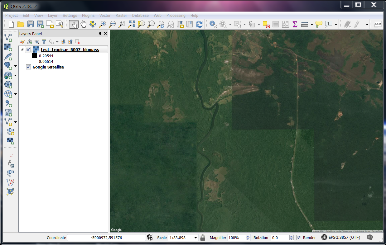
The "complex type" GeoTIFFs cannot be opened/displayed by QGIS.
The image is opened without error message but nothing is displayed. In addition, all the pixels values of the image are indicated as "nan" by the "Identify feature" tool.
This GeoTIFF type is characterised by the fact that every pixel is a complex value.
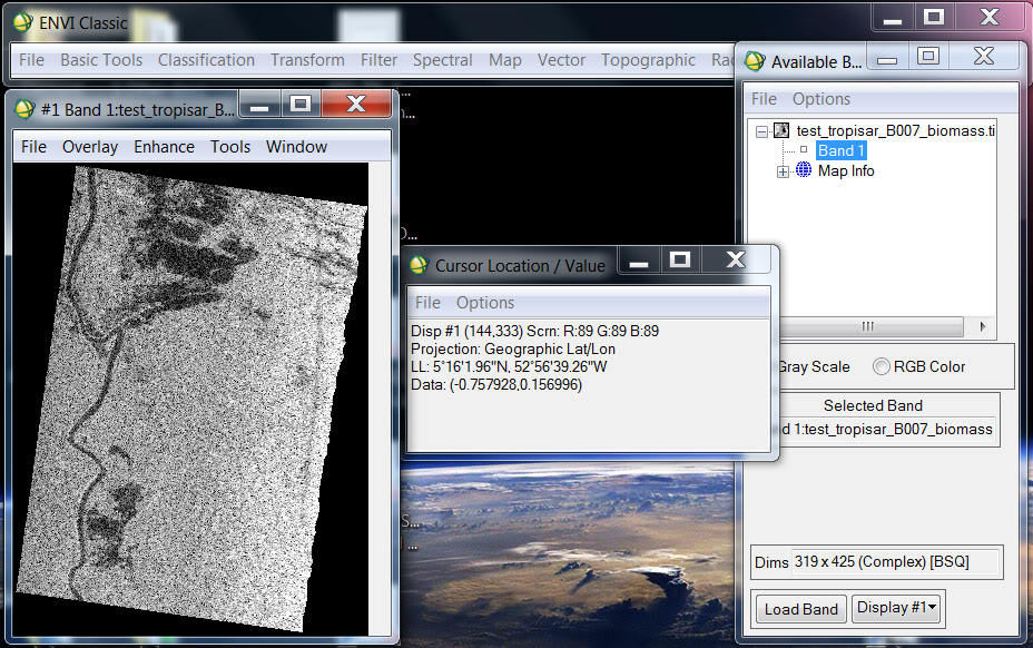
This type is handeled properly by Python/GDAL, IDL/ENVI...
Similarly to ENVI, the absolute value of every pixel should be displayed, and the "Identify feature" tool should indicated the couple of Real and Imaginary values related to the pixel clicked.
Please find attached an example of complex GeoTIFF with print screens of QGIS and ENVI opening this file.
Handling this file type with QGIS would be very useful as many SAR images are stored with complex values.
Thanks!