The AGIT is a conference and exhibition on Geoinformatics held in Salzburg (Austria).
Representation
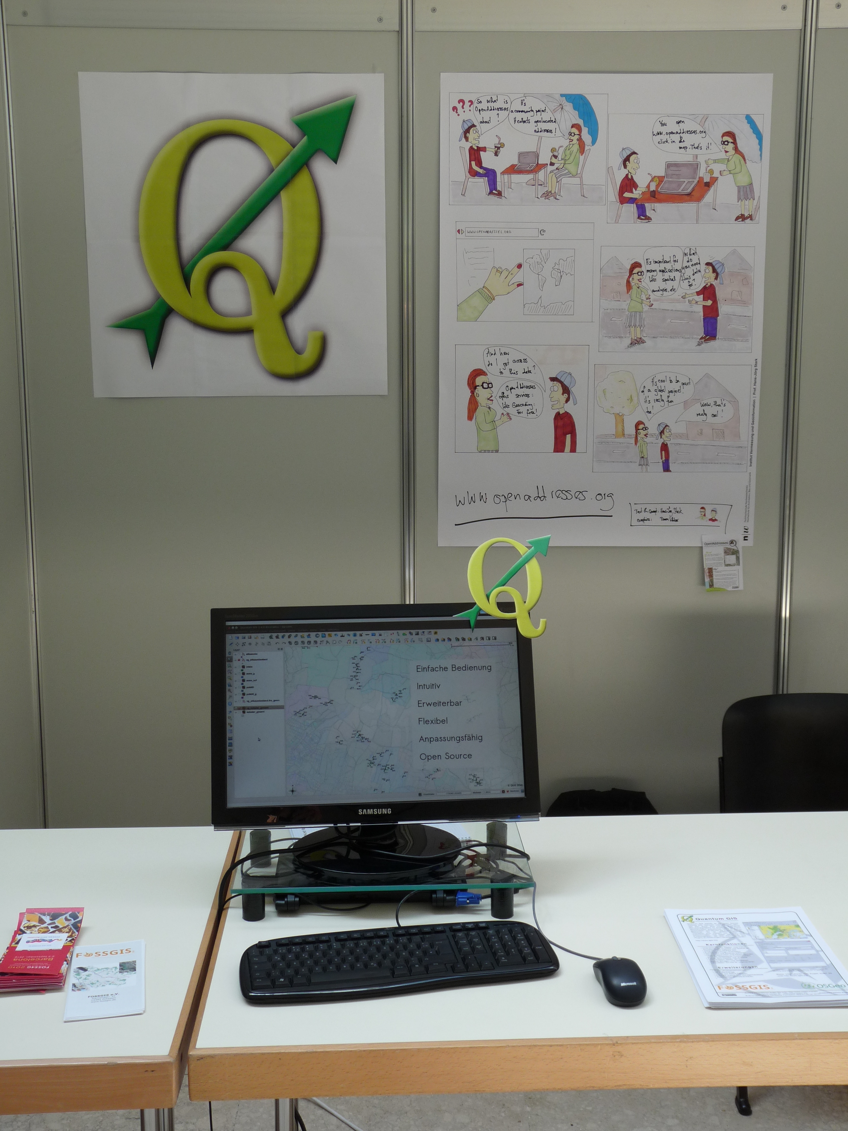
QGIS was present as part of the OSGeo and FOSSGIS e.V. - area of the exhibition with a small area and a representant of its own.
A picture of the QGIS - area can be viewed here .
Questions
This is a non-complete collection of question that were of concern to various visitors of the QGIS booth.
- Network analysis (topology of conduction)
- Import and export of GPX - files
- Load GPX - tracks directly from the device
- Logging of specific points (user triggered) using a GPS - device
- Mailing-List
- Support for ".NET"
- Support for 3D - Shapefiles
- Possibilities to use different symbologies for map - production
- Easy (and quick) printing
- A log-file for WMS - requests / some kind of "logging - window" within QGIS to visualize the currently made requests over time
- Pre - defined symbology for OSM - data
- Ease of use
- Routing functionality
- Possibility to script QGIS