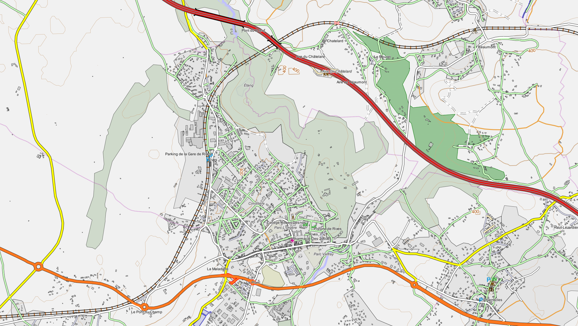
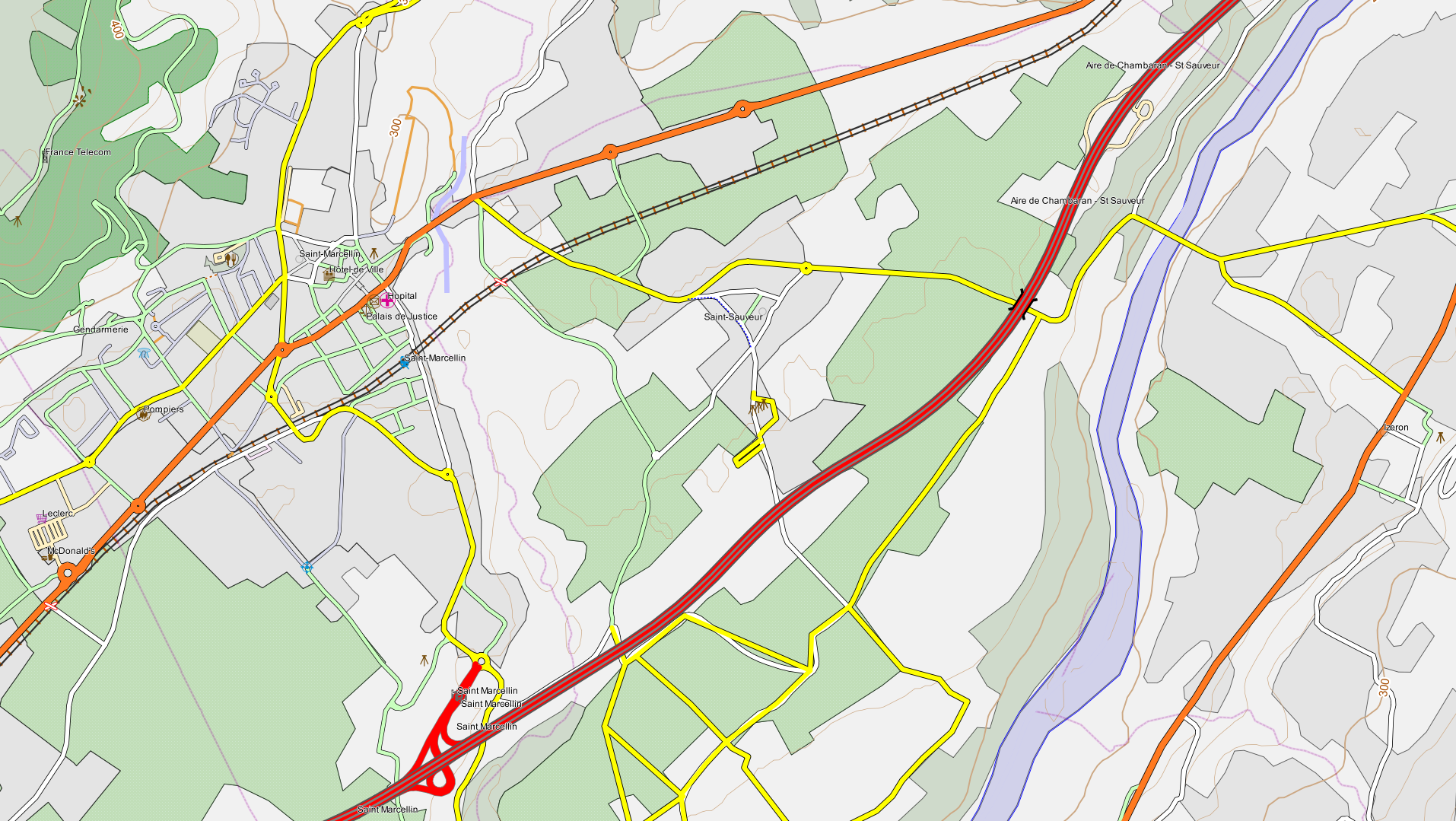
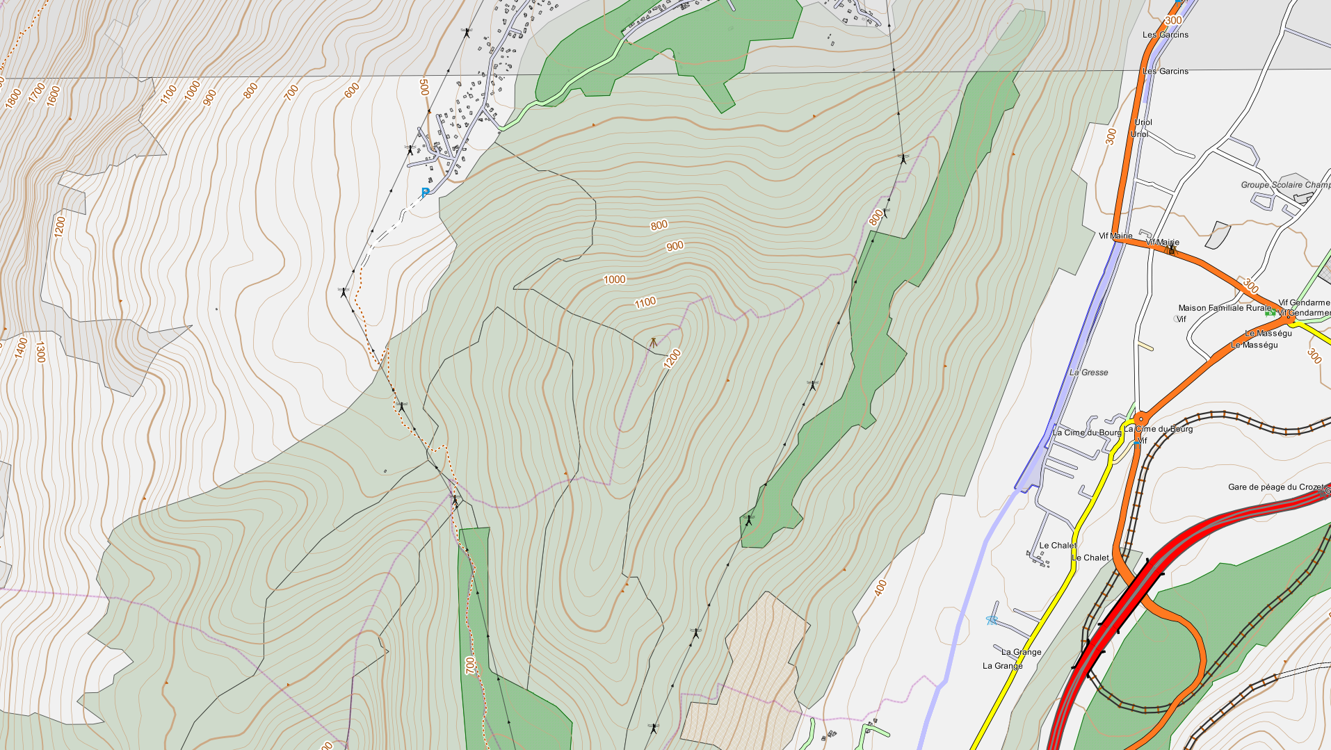
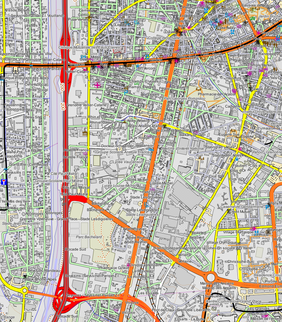
This page links full resolution tests of rendering using QGIS 1.7.0 rule-based rendering on OpenStreetmap data (area near Grenoble, France, except first map: hillshade test North Italy) prepared with [osm2postgresql]. After clicking on the [Full resolution] links, you may need to click again on the image to see it un-blurred.

[!http://www.qgis.org/qgiswiki/images/b/bf/Lema_OSM_test.png! (Full resolution)]
You can compare the above with the official OSM map for the same area: QGIS rocks!

[!http://www.qgis.org/qgiswiki/images/3/3e/QGIS_OSM_f104.png! (Full resolution)]

[!http://www.qgis.org/qgiswiki/images/e/e3/QGIS_OSM_f131.png! (Full resolution)]

[!http://www.qgis.org/qgiswiki/images/2/21/QGIS_OSM_f43.png! (Full resolution)]

[!http://www.qgis.org/qgiswiki/images/2/2f/QGIS_OSM_f148.png! (Full resolution)]

[!http://www.qgis.org/qgiswiki/images/b/bc/QGIS_OSM_Grenoble.png! (Full resolution)]
(The following two mentions should remain when sharing or transforming one of these maps:
Map data (c) OpenStreetMap contributors, CC-BY-SA. This map (c) Mayeul KAUFFMANN, CC-BY-SA, made with QGIS and osm2postgresql).